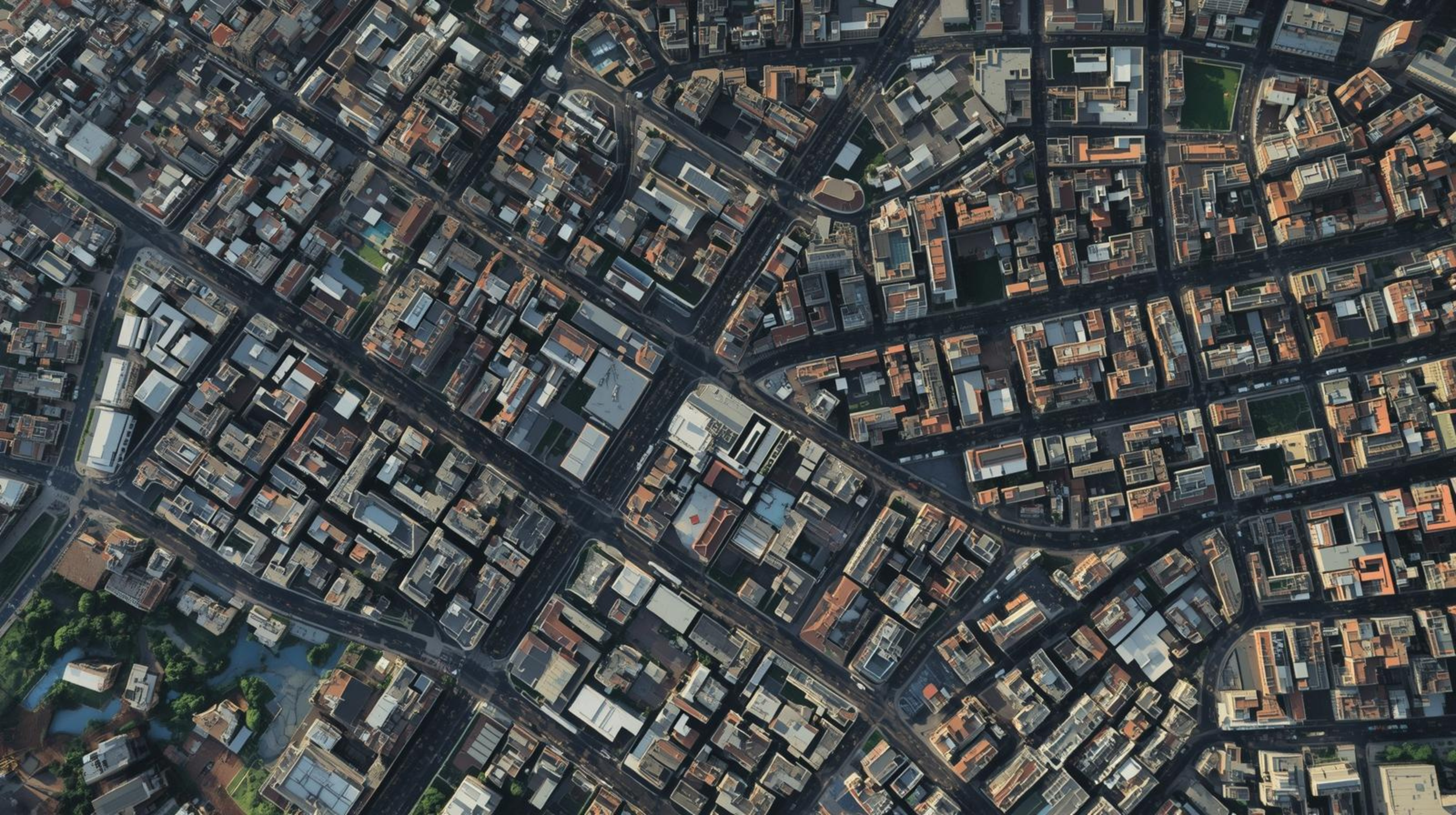
High Resolution Satellite & Aerial Imagery Samples

#1 3D rendered from satellite photographs:

Multiple Satellite photos 3D rendered satellite view of a densely built urban cityscape showing numerous streets, buildings, and some green spaces.
An aerial view of a downtown area with buildings, parking lots, and streets filled with cars.
An aerial view of an airplane terminal with several airplanes parked at gates, a large parking lot with cars, and surrounding roads.
Aerial view of a golf course with fairways, sand traps, trees, a pond with a fountain, and nearby residential buildings.
Aerial view of M&T Bank Stadium in Baltimore, Maryland, home to the Baltimore Ravens football team. The stadium has a capacity crowd with the field marked for football, featuring the Ravens logo at the center.
Aerial view of a park with pathways, gardens, and a greenhouse, next to a major street with cars and residential houses.

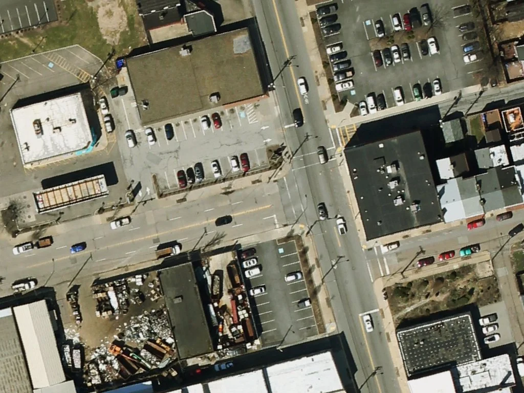
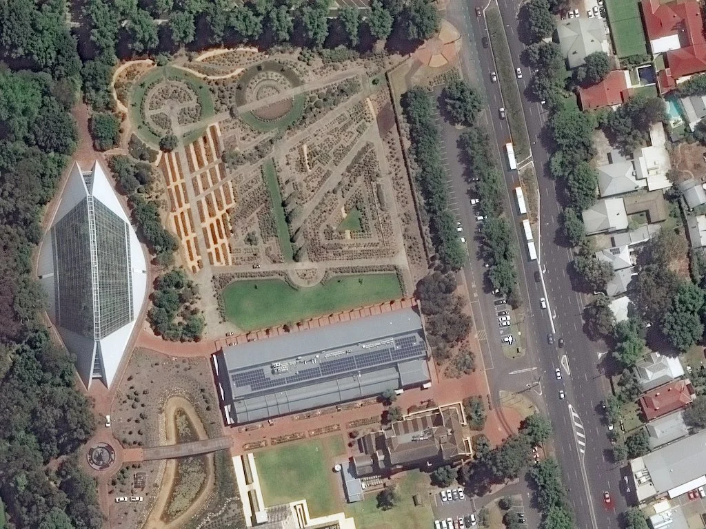
#2 3D rendered from aerial photographs:

Multiple aerial photos 3D rendered aerial view of a busy city intersection with crowds crossing the streets and tall buildings surrounding the area.
Aerial view of a complex city block with multiple large buildings, including a distinctive architecture with a glass dome, and surrounding streets with traffic.
Aerial view of a coastal marina with boats, surrounded by green islands, with a sandy beach and waves from the ocean in the background.
An aerial view of a sports complex including a large baseball or softball stadium, a soccer or football field, and a swimming pool, along with surrounding buildings and parking lots.
Aerial view of an airport showing multiple airplanes parked at gates and on the tarmac, with a jet bridge connecting to a terminal.
Aerial view of a large desert festival with circular rows of tents, vehicles, and structures surrounding a central stage or monument.
Aerial view of a golf course with sand traps, trees, a pond, and paths surrounding a clubhouse and other buildings.
Aerial view of a water park with a large water slide, a lake, and various hotel buildings.
Aerial view of downtown Oklahoma City, Oklahoma, showing the Chesapeake Energy Arena, parks, and surrounding city streets.
Aerial view of a golf course with fairways, water hazards, sand bunkers, and surrounding trees, with a clubhouse and parking lot at the top.
A black and white photograph of a large, illuminated, circular interior space, possibly an auditorium or theater, with rows of seats and a stage or central area.
Satellite view of a military airbase with several parked fighter jets, runways, taxiways, and support buildings.
Satellite image of a large industrial complex with cooling ponds, storage tanks, and buildings in a desert environment.
Aerial view of an industrial factory with multiple tanks, pipes, and buildings.
Aerial view of a beach resort with swimming pools, a waterslide, parking lot, and coastline with rocky shore and water.
A cruise ship docked at the port, viewed from above, with parked cars and empty lots nearby.
Aerial view of a beach resort with swimming pools, a sandy beach, and ocean waves.
Aerial view of the Burj Khalifa in Dubai, surrounded by water features, modern buildings, and urban infrastructure.
An aerial view of an ancient pyramid with a shadow cast on its side, surrounded by desert and archaeological ruins.
Aerial view of the California Science Center featuring the Space Shuttle Endeavour exhibit, with surrounding buildings, water bodies, and amusement rides.
Aerial view of a cityscape showing buildings, parking lots, roads, green parks, and a large hotel or convention center with a distinctive round structure.
An aerial view of a complex of buildings and roads with a tall communication tower at the center.
Aerial view of an amusement park with roller coasters, rides, and pathways.
Aerial view of an amusement park with rides, pathways, parking lot, trees, and themed landscaping.
Satellite view of a large park with green spaces, pathways, and distinctive buildings, including a carousel, an arena-like structure, and a circular complex with multiple domed structures and planets, near a highway.
An aerial view of a city block with a park in the center, surrounded by buildings, roads, and construction sites.
Black and white aerial photograph of an urban area showing a river running through the middle, with bridges crossing it and a dense arrangement of buildings and streets on either side.
Aerial view of a marina with boats docked and adjacent buildings, including a large, curved white roof structure, and surrounding city infrastructure with roads and high-rise buildings.
An aerial view of a city neighborhood showing streets, buildings with rooftops of various colors, trees, and a small roundabout intersection.
Aerial view of a snow-covered residential area with winding roads, houses, and forested hills.